It’s always handy to explore maps of your intended destination.
You can find a lot of maps of Ukraine on-line, in shops of your home country or get them here in Ukraine upon arrival. Nowadays, it’s not a problem at all.
However here I outline a list of most useful maps that will help you efficiently plan your travel to Ukraine.
 See below:

- Map of Ukraine;
- Other types of Ukraine map (Geographical, Political maps, etc.);
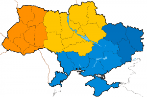
- Regional Ukraine maps (the Carpathians, Crimea, West, North, East and South of Ukraine);
- Ukraine city maps (Kyiv, Lviv, Odessa, Kharkiv, Donetsk);
- Find out where is Ukraine on a map of world and Europe.

Looking at terrain or on satellite Google maps of Ukraine I assess how the place looks like and build a envision of my next destination well ahead of my arrival there. Afterwards, it’s just a matter of curiosity to check I was right or not. It’s a great feeling and I highly recommend you to explore maps before travelling.
Even if I don’t plan to travel somewhere in the nearest future I just might stop on some interesting places on a global map and study it loosing any sense of time simply getting lost inside the imagined world.
Yeah, exploring maps is my weakness which has been developed in the early childhood when my father was putting various maps on the wall in my room. When I learned all cities, lakes, roads, animal species, climate zones etc., he would put up a different map and my dream journey would continued…